Dolly Sods is beautiful, there's no denying it. But I'm getting more than a little bored with the place. It's extremely popular and uncomfortably crowded. I told my backpacking friend--who only ever wants to go to the Sods--that I'll only go back there on weekdays.
And so, we left after work on a Wednesday, got dinner at the excellent Purple Fiddle in Thomas, West Virginia, then parked in the dark along Forest Road 80, or "Freeland Road." From the car, we hiked 4.2 miles to a campsite on the water along the Dobbin Grade Trail, with only our headlamps to light the way.
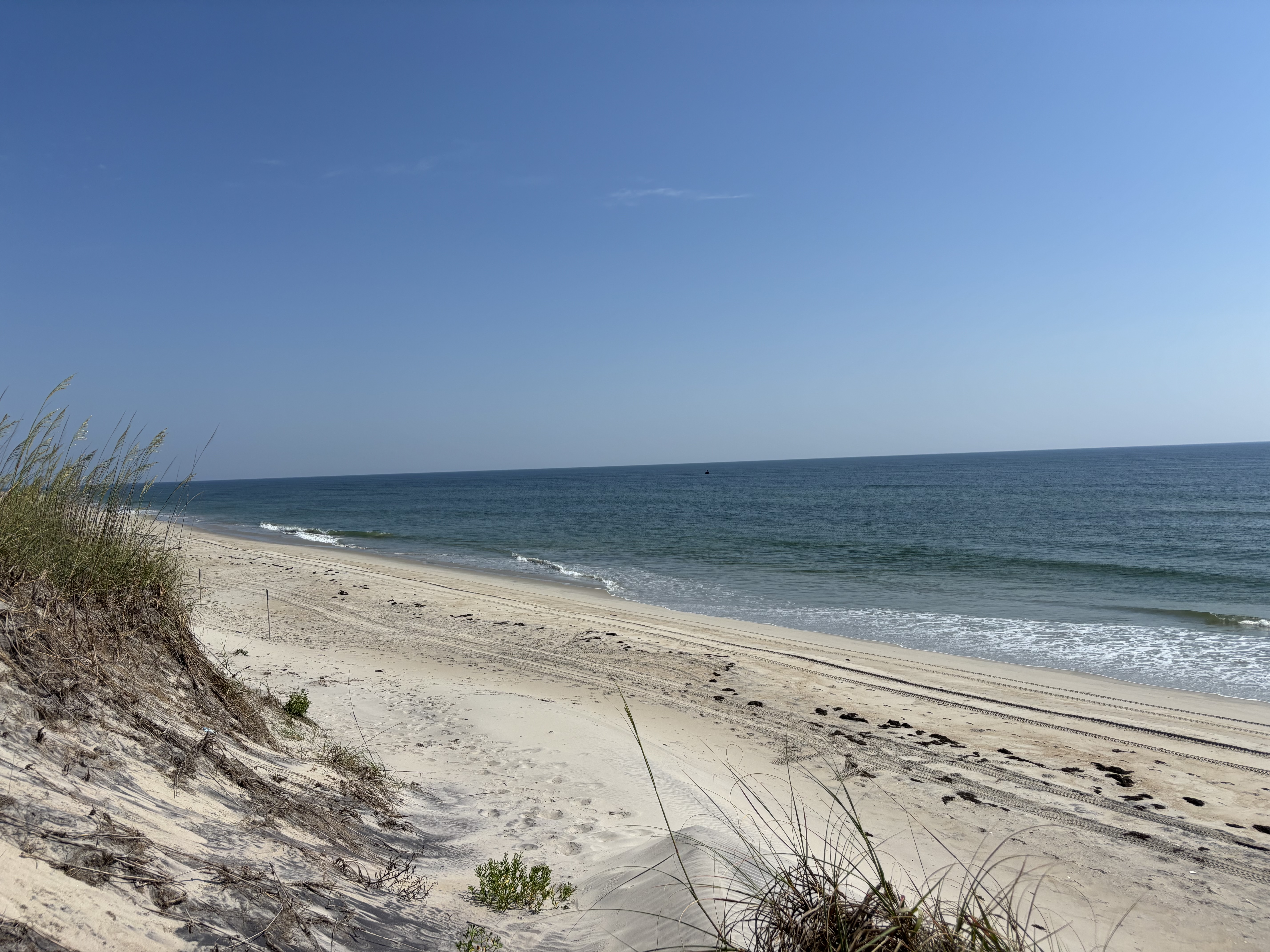
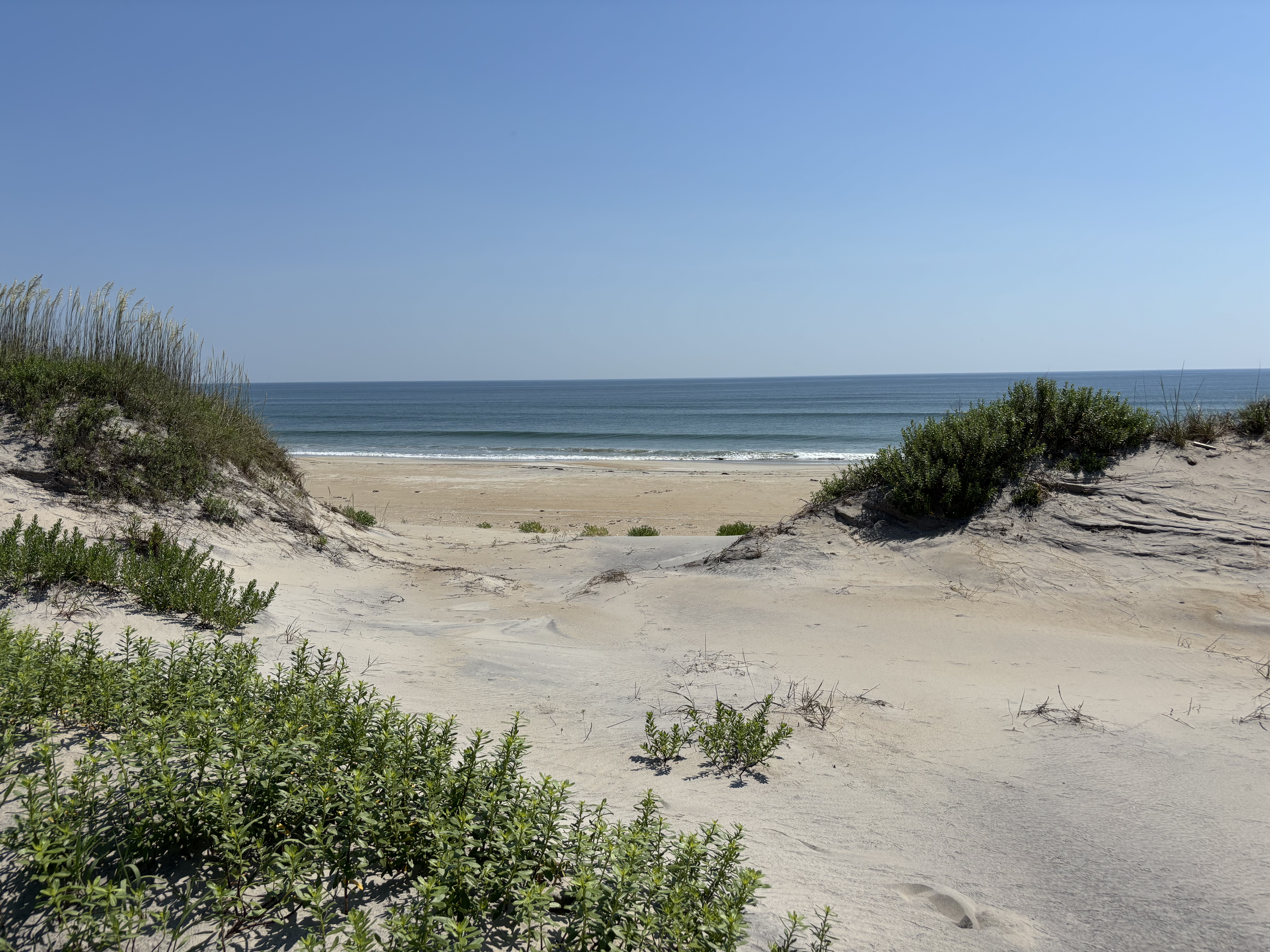
These photos are not in order. This is NOT the campsite where we spent Wednesday and Thursday nights. It was here on the ridgeline--on the Rocky Ridge Trail--that we spent Friday night. And the photo just above is the sunrise as seen from that some ridgeline on Saturday morning.
It was a new experience for us to head off into the woods at night, but one we might repeat. The night was moonless and very dark. The stars shone brightly in pitch black skies. It was 11:00pm when we finally found a hidden spot to camp beneath the spruce trees and right along the narrow, upper reaches of the Left Fork of Red Creek. That first night at camp was a lot of fun. As tired as we were, we collected wood, built a huge fire, and didn't go to bed till 2:00am.
On Thursday morning, I wanted to bag a certain peak that was about 4 miles away, "Blackbird Knob." My friend spent the day at camp, and while he was there a big group of 10 guys set up very close to our camp. They were noisy, and one of them started playing music on a Bluetooth speaker. Who comes to a wilderness area in a national forest and plays music on a speaker?
If you feel the need to play music in the woods, then just exit the forest and go back to whatever noisy place you come from. You don't understand the trees, the owls, the gurgling water, the breeze in the treetops, the howling coyotes at sunset. These things are not for you, and they can't help you, so at least refrain from ruining them for the people they can help--namely me. (The same goes for anyone who feels the need to play music at the beach. The ocean is the Mother-of-All-Life! Turn off the Bad Bunny and LISTEN TO HER!)
Here's our first campsite--for Wednesday and Thursday nights.
When the radio started playing, less than 200 yards away, my friend said, "I'm going over there to ask them to turn it off." Away he marched. He said they were very nice about it, but I was more than a little impressed with his courage...to walk into a campsite with 10 strangers and ask them to turn off their music.
I did indeed bag the summit of Blackbird Knob, though there is no official trail to the top, just an overgrown path. And there are no views up there either. This is not the peak of Blackbird Knob; it's just a scene along the Upper Red Creek Trail.
The fall season is well advanced up above 4,000 feet. It was hot in the sun and cold in the shade.
This is actually the summit of Blackbird Knob, for whatever it's worth.
There were so many millions of teaberries, aka "wintergreen," all along the trails at the Sods. And the wild blueberry bushes were ablaze in this russet-crimson color. Some withered-but-edible blueberries still clung to the branches.
On Friday morning we decided to move our camp up onto the ridge, along the trail back to the car, so that the walk out on Saturday wouldn't be as long. By this time, the Sods was OVERRUN with people, including a lot of very large groups traveling together. Why do we keep going back there? It feels like Orlando with expensive gear.
On Friday, we came across a solo hiker--a fellow our age--who fell into step with us and became a companion for part of the day. I do go to the woods to be alone--or almost alone--but it's fun to make new connections, too. (The guy I backpack with, though he's far more extroverted than I am, does not like making new friends on the trail, and it kind of showed.) The new guy had a pistol strapped to his chest! Isn't it interesting, the things people take with them to the trees...loud music, a Bluetooth speaker, a gun.
On Wednesday night, as we were headed up into the Sods, we stopped at a store in the town of Davis to buy a few things. The checkout girl said that she'd only had 1 day off in 2 months. When I said that didn't sound legal, she looked at me and said, "I have three jobs. Everyone up here has at least two."
Rural poverty. It's just as real and just as crushing as urban poverty. Some things about rural poverty are worse because when you live in the country, you cannot make do without a car--which means purchasing one, maintaining it, putting gas in it, and insuring it.
We had a blazing fire each of the three nights on the trail. The whole wilderness was scented with the light, mind-clearing aroma of spruce trees. Drought had done its worst, but the Dobbin Grade Trail was still a boggy mess--just not quite as bad as usual.
So, there are several entrances to the Dolly Sods Wilderness Area. The south entrance to the Red Creek Trail is popular. There are lots of entrances from the east, along Forest Road 75. But for a less crowded experience, try the west entrance, following Freeland Road, which eventually becomes Blackbird Knob Trail.